
GIS Services
GIS Mapping Services
We provide accurate GIS mapping services to transform geographic data into detailed, informative digital maps. Our solutions support better spatial analysis, infrastructure planning, and informed decision-making across various industries.
GIS Mapping Services

Advanced Geospatial, Mapping and Digital Engineering Solutions
ProfferGIS provides comprehensive geospatial solutions to meet diverse project requirements. Our service capabilities include GIS Mapping, LiDAR Data Processing, Photogrammetry Modeling, Road Network Mapping, Utility Mapping, and Telecom GIS solutions. We focus on delivering accurate mapping, reliable spatial data, and detailed geospatial outputs to support infrastructure development, planning, and project execution.
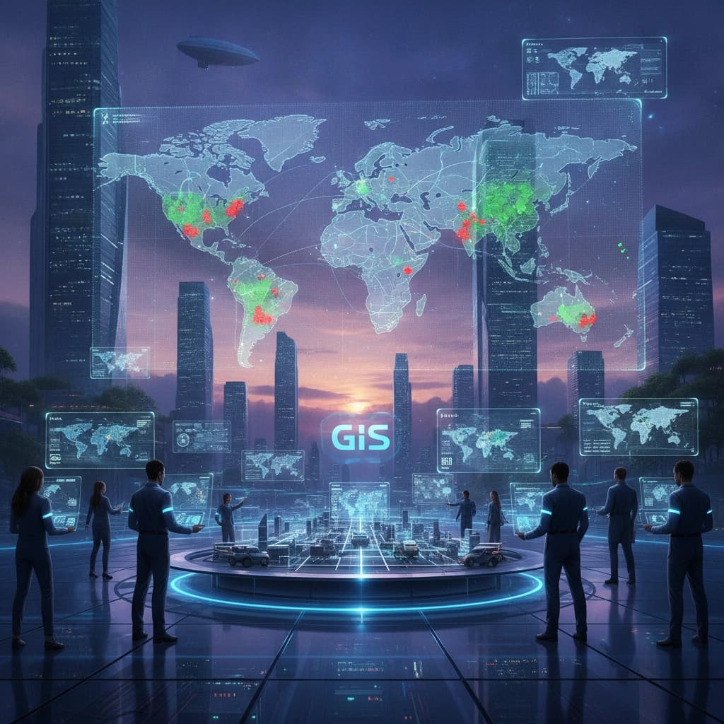
Introduction to Geospatial & GIS Mapping Services
Geospatial technology plays an important role in modern infrastructure development, land management, engineering, and utility operations. By combining advanced mapping technologies with Geographic Information Systems (GIS), organizations can collect, process, manage, and visualize spatial information more effectively.
At ProfferGIS, our geospatial service capabilities cover GIS Mapping, LiDAR Data Processing, Photogrammetry Modeling, Road Network Mapping, Utility Mapping, and Telecom GIS solutions. We also support infrastructure and engineering projects with accurate spatial data processing and detailed mapping deliverables.
Our objective is to provide reliable geospatial solutions that help clients manage geographic information, improve project coordination, support informed decision-making, and achieve better operational outcomes.
Why Choose ProfferGIS
Advanced Technology
Modern tools for accurate project outcomes
Comprehensive Solutions
Multiple services under one roof
Data Accuracy
Reliable and precise mapping outputs
Technical Expertise
Skilled support for project requirements
Industry Coverage
Solutions across multiple industry sectors
Digital Integration
Seamless integration of digital information
Quality Assurance
Consistent and dependable deliverables
Client Satisfaction
Solutions aligned with client expectations
Our Geospatial & GIS Mapping Services

Photogrammetric Services
We provide photogrammetric mapping solutions using advanced digital systems to process aerial imagery and generate accurate geographic information. Our services support terrain visualization, topographic mapping, and 3D geographical representation.
Our photogrammetric services include:
- Aerial Triangulation
- Digital Elevation Model (DEM) Creation
- Planimetric Mapping
- Terrain Modeling
- Topographic Mapping
- Orthophoto Production
- 3D City Modeling

LiDAR Data Processing & Mapping
We provide LiDAR data processing and mapping solutions for airborne, mobile, terrestrial, and UAV-based data. These services help convert laser scanning information into structured geospatial datasets and 3D representations.
Our LiDAR service capabilities include:
- Airborne Laser Terrain Mapping (ALTM)
- Mobile and Handheld LiDAR Processing
- Terrestrial LiDAR Data Processing
- UAV LiDAR Data Processing
- Flight Line Adjustment
- 3D City Modeling

Architecture, Engineering & Construction (AEC) Services
We support AEC projects through digital engineering and modeling solutions. Our services help transform design information and scanned data into coordinated digital models for construction and infrastructure projects.
Our AEC service capabilities include:
- Mechanical, Electrical & Plumbing (MEP) Solutions
- Structural Construction & Analysis
- Scan to BIM
- 2D to 3D BIM Modeling
- 3D Coordination and Clash Detection
- 4D Construction Planning
- Visualization BIM Modeling

Geographic Information System (GIS) Services
We provide GIS solutions to help organizations collect, organize, manage, and maintain geographic information. Our services support spatial data management and GIS implementation across different utility and infrastructure domains.
Our GIS service capabilities include:
- GIS Consultancy
- GIS System Development & Implementation
- GIS Data Design & Modeling
- GIS Data Migration
- GIS Data Capture
- GIS Data Validation
- GIS Data Maintenance
- Web GIS Application Development
- Mobile GIS Application Development

Telecom & Utility Mapping Services
We support network planning, design, and mapping requirements for telecommunications and utility infrastructure. Our solutions cover different fiber network technologies and support electrical and gas utility design and drafting requirements.
Our service capabilities include:
- Fiber Network Planning and Mapping
- Hybrid Fiber Coaxial (HFC) Network Mapping
- FTTH Network Mapping
- FTTX Network Mapping
- FTTP Network Mapping
- FTTN Network Mapping
- Electrical Utility Mapping
- Power Supply Line Design and Drafting
- Gas Utility Mapping
Our Geospatial & GIS Deliverables
ProfferGIS provides project-based deliverables across GIS mapping, LiDAR data processing, photogrammetry, spatial analysis, and geospatial data management. Our outputs are prepared according to project requirements, client specifications, and agreed technical standards.
Depending on project requirements, our deliverables may include

Industries We Serve

Telecommunications
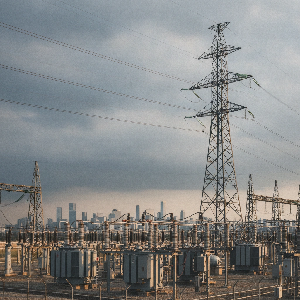
Electrical Utilities

Water & Sewer Utilities
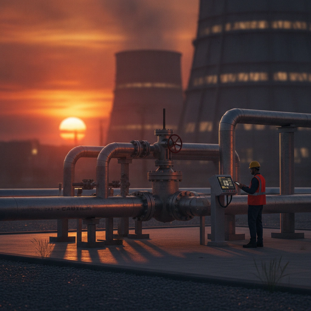
Gas Utilities

Architecture, Engineering & Construction

Infrastructure Development
Our work process
Project Review
We understand project objectives, technical requirements, geographic coverage, available data, and expected deliverables.
Data Processing & Modeling
We process geographic information and develop the required maps, spatial datasets, digital models, and engineering outputs.
Data Collection & Assessment
We review aerial imagery, LiDAR datasets, existing maps, engineering drawings, and other relevant project information.
Quality Review & Coordination
We review the prepared outputs for consistency, coordinate relevant project information, and address identified issues.
Frequently asked questions
What geospatial services does GeoStructMech provide?
What are photogrammetric services?
What types of LiDAR data do you support?
What GIS services do you provide?
Do you provide telecom network mapping services?
Do you provide utility mapping services?
What AEC and BIM services are included?
What information is required to begin a project?
Connect with Our Geospatial and Engineering Experts
Connect with ProfferGIS for reliable GIS mapping, LiDAR data processing, photogrammetry, and geospatial solutions. Let our expertise support your project's success with accurate and efficient results.