Photogrammetry Services
Photogrammetry Services
Transform aerial and ground-based images into accurate 3D models, point clouds, and georeferenced mapping data with our professional photogrammetry services.

Real-World Images Transformed into Accurate 3D Models
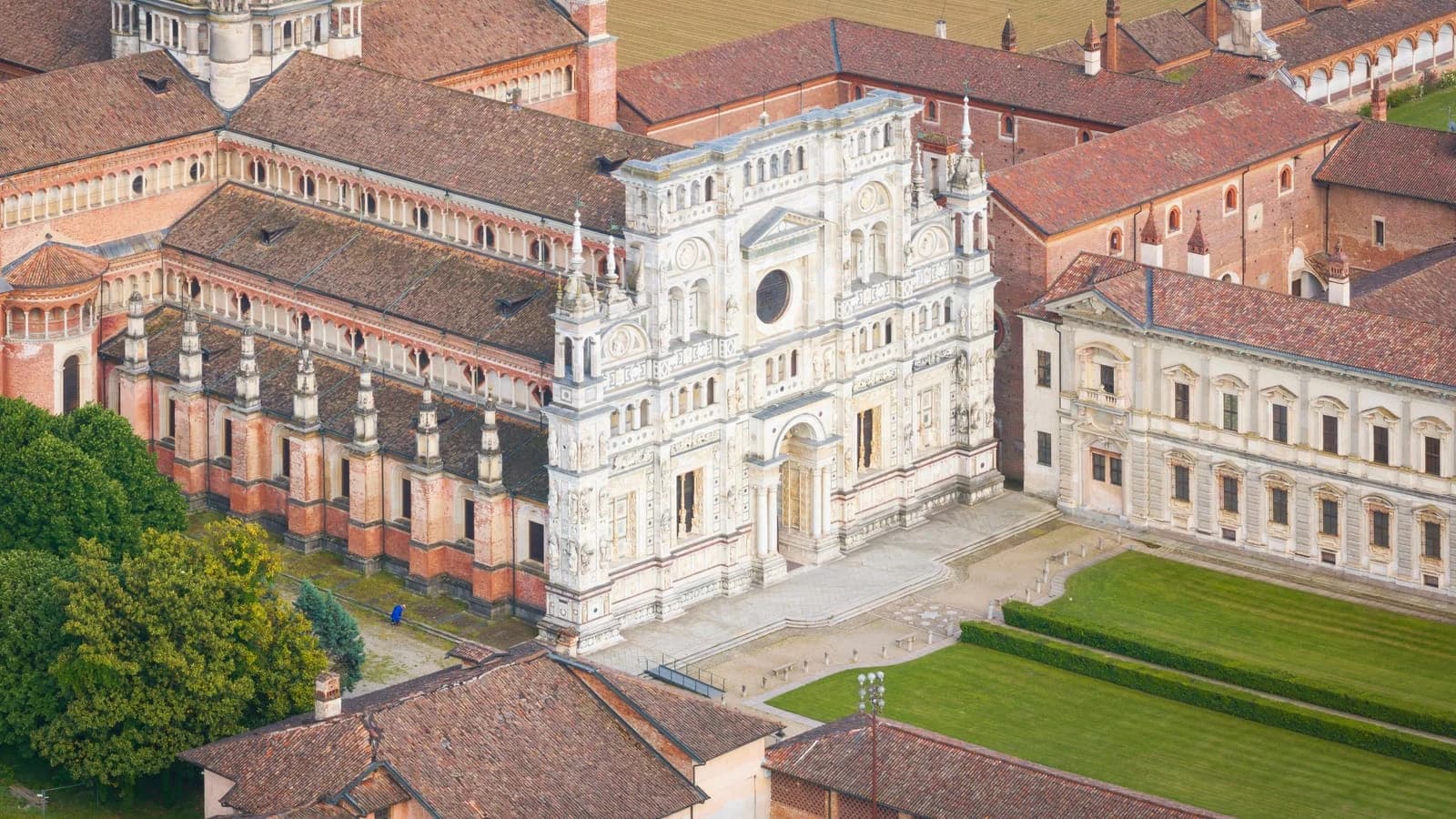
Photogrammetry is the process of capturing overlapping ground or aerial photographs and processing them to create detailed 3D mesh models, point clouds, and orthomosaic maps.
By analyzing multiple images of the same object or location, photogrammetry reconstructs real-world surfaces with accurate geometry and visual details. It is widely used in construction, architecture, industrial projects, land surveying, and heritage documentation.
Our photogrammetry services help you:
- Create detailed 3D mesh models from images.
- Generate orthomosaic maps for site visualization and analysis.
- Capture building facades, structures, and large outdoor areas.
- Support heritage documentation, conservation planning, and condition assessment.
Why Choose Our Photogrammetry Services?

Optimized and Lightweight 3D Models
We deliver optimized 3D mesh models that are lightweight, easy to handle, and practical to use instead of large datasets that are difficult to open and manage.
Detailed Surface Representation
Capture real-world textures, geometry, and site conditions in high detail through image-based reconstruction.

Supports Complex Structures
Our photogrammetry solutions are suitable for heritage buildings, facades, industrial assets, and large land parcels.

Integrated with Measured Data
Align photogrammetry outputs with survey or laser scan data to support improved data consistency and accuracy wherever required.

Faster Capture with Detailed 3D Models
Capture large or complex sites efficiently and generate detailed 3D models for better visualization and condition assessment compared to conventional 2D photographs.

Reliable Output Delivery
We verify captured data through alignment and reconstruction checks before preparing the final outputs for client delivery.
Industries We Serve
Construction
Architecture

Industrial
Real Estate
Heritage
Infrastructure
Our Photogrammetry Workflow
01. Image Planning and Capture
Define image coverage, 70–80% overlap, lighting conditions, and capture methods. Collect high-resolution images with consistent overlap and minimal shadows for accurate processing.
02. Image Alignment (Aerial Triangulation)
Align images and calculate camera positions to generate a sparse point cloud.
03. Data Alignment and Georeferencing
Align photogrammetry data with laser scan or survey data to establish the required spatial reference and improve accuracy.
04. Dense Point Cloud Generation
Process aligned images into a dense point cloud representing detailed real-world geometry.
05. 3D Mesh Model Creation
Convert the generated point cloud into a detailed 3D mesh model representing the actual surface.
06. Texture Mapping
Apply image textures to the 3D mesh model to create a realistic representation of the captured surfaces.
07. Orthomosaic / DEM Generation
Create georeferenced orthomosaic maps and Digital Elevation Models for accurate 2D representation and terrain analysis.
08. Quality Check
Verify model accuracy, image alignment, data completeness, and overall output quality.
09. Final Delivery
Provide structured photogrammetry outputs in the required formats, ready for design, documentation, and analysis.
Photogrammetry Deliverables
Photogrammetry Deliverables
We provide structured photogrammetry outputs in different formats to support visualization, design, documentation, measurement, and analysis.
3D Mesh Models
Detailed 3D surface models representing captured structures and environments.
Formats: OBJ, FBX, PLY
Dense Point Cloud Data
Detailed point cloud datasets generated from aligned photographs.
Formats: LAS, LAZ
Textured 3D Models
Realistic 3D models with image-based surface textures.
Orthomosaic Maps
Georeferenced aerial maps for site visualization and analysis.
Formats: GeoTIFF, high-resolution images
2D Drawings and Elevations
Drawing and elevation outputs extracted from processed photogrammetry data.
Contour Maps and Surface Data
Terrain contours and surface information for project analysis.
Measurement Outputs
Area, distance, and volume measurements extracted from processed datasets.
Aligned Datasets with Laser Scan Data
Integrated photogrammetry and laser scan datasets when required.
Connect with Proffer GIS: Your Geo-Spatial Experts in Bengaluru
Say Hi!
Frequently Asked Questions
What is photogrammetry?
What types of images are required for photogrammetry?
How much image overlap is required?
What outputs can be generated using photogrammetry?
Can photogrammetry data be integrated with LiDAR data?
What file formats are available for photogrammetry deliverables?
Can photogrammetry be used for heritage documentation?
How long does a photogrammetry project take?