
GIS Services
GIS LiDAR Data Processing Services
We provide advanced GIS LiDAR data processing services to transform raw point cloud data into accurate, detailed geospatial information. Our solutions support terrain modeling, feature extraction, 3D visualization, and informed infrastructure planning.
GIS LiDAR Data Processing Services

Accurate LiDAR Data Processing and Geospatial Mapping Solutions
ProfferGIS transforms raw LiDAR point clouds into accurate, classified, and ready-to-use geospatial data for infrastructure, utilities, transportation, and urban planning. Our services include point cloud classification, terrain modeling, feature extraction, powerline mapping, volume calculations, change detection, and 3D city modeling.

Introduction to GIS & LiDAR Services
LiDAR (Light Detection and Ranging) technology is widely used to capture detailed three-dimensional information about the Earth's surface and surrounding objects. By processing laser-scanned point cloud data, valuable geographic information can be extracted for mapping, engineering, infrastructure development, and environmental applications.
At ProfferGIS, we convert raw LiDAR point clouds into structured and classified geospatial datasets ready for further engineering and GIS applications. We work with airborne, UAV/drone, mobile mapping, and terrestrial LiDAR data to generate accurate terrain models, extract geographic features, and prepare detailed mapping outputs.
Our solutions support infrastructure, utility networks, transportation, forestry, and urban planning projects through reliable geospatial data processing, analysis, and visualization.
Why Choose ProfferGIS
Data Accuracy
Accurate and reliable LiDAR mapping outputs
Point Classification
Structured and classified point cloud datasets
Advanced Tools
Industry-standard geospatial processing software
Multiple Sources
Support for different LiDAR data collection methods
Feature Extraction
Detailed extraction of geographic features
3D Modeling
Clear visualization of buildings and urban environments
Quality Assurance
Careful review of processed geospatial datasets
Project Flexibility
Solutions aligned with different project requirements
Our GIS & LiDAR Deliverables
ProfferGIS transforms raw LiDAR data into organized, accurate, and ready-to-use geospatial deliverables. Our outputs are prepared according to project specifications and intended applications across infrastructure, utilities, forestry, and urban planning.
Depending on project requirements, our deliverables may include

Industries We Serve

Engineering & Construction
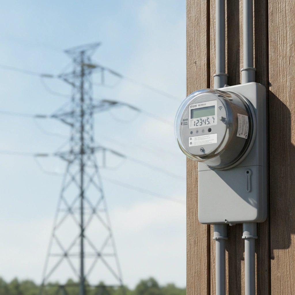
Electrical Utilities

Infrastructure Development

Urban Planning

Transportation

Land & Terrain Management
Our work process
Data Collection & Assessment
We receive and review the supplied LiDAR datasets, identify the data source, and understand the project objectives and required outputs.
Classification & Feature Extraction
We classify point cloud information into relevant categories and extract features such as buildings, roads, poles, trees, and wires.
Point Cloud Processing
We process the raw point cloud data and prepare it for classification, feature extraction, and further geospatial applications.
Model Generation & Quality Review
We generate the required DEM, DTM, DSM, contours, volume calculations, change detection outputs, and 3D models, followed by quality checks.
Frequently asked questions
What is LiDAR point cloud processing?
What types of LiDAR data do you support?
What is LiDAR point cloud classification?
What are DEM, DTM, and DSM?
What geographic features can be extracted from LiDAR data?
Can LiDAR data be used for powerline mapping?
What file formats are supported for LiDAR data?
Which software tools are used for LiDAR processing?
Connect with Our Geospatial and Engineering Experts
Connect with ProfferGIS for reliable GIS mapping, LiDAR data processing, photogrammetry, and geospatial solutions. Let our expertise support your project's success with accurate and efficient results.